🔭 Codex Portal: current research papers 🌍

◆ 90% UNESCO Alignment Figure
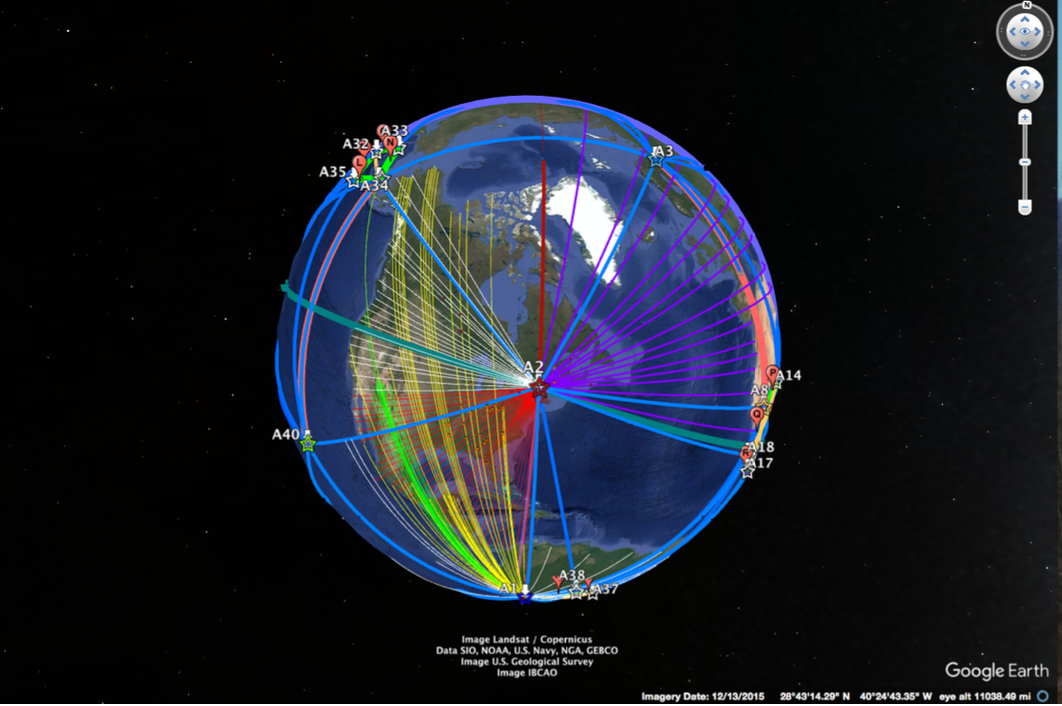
The “90% UNESCO coherence” refers to findings from the V3 polyhedral face model of the Geodetic Codex, specifically:
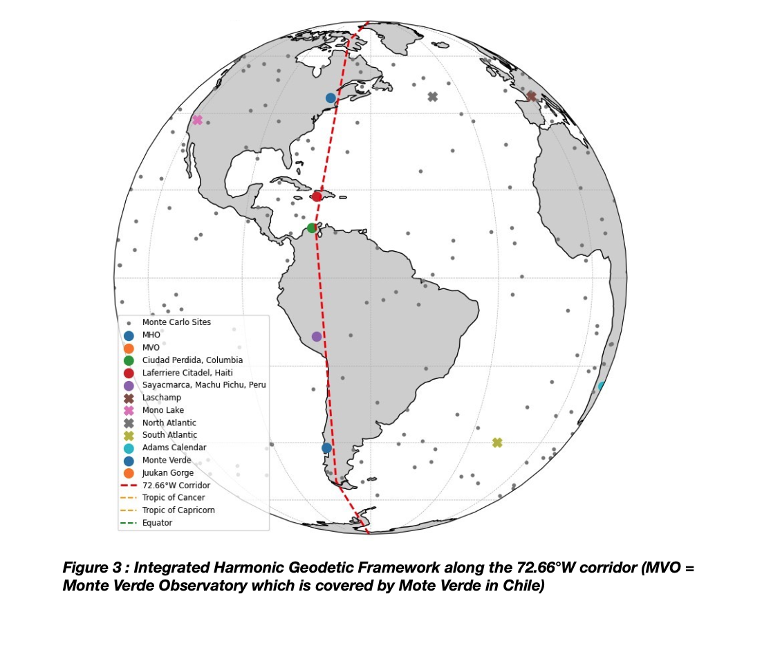
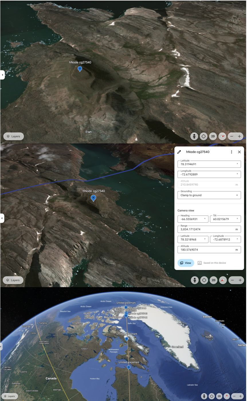
- UNESCO Site Proximity Threshold: When calculating the shortest edge or vector endpoints between geodetic node triads (e.g., Sayacmarca → Meadow House → Semisopochnoi), over 90% of node-to-node distances fell within proximity of known UNESCO World Heritage Sites (or adjacent regions with significant archaeological or cultural indicators).
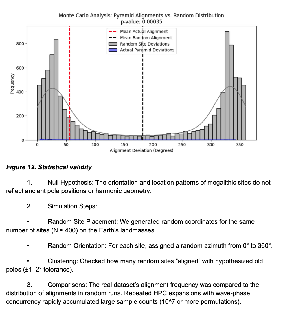
- This coherence was further validated by Monte Carlo simulations and random node generation across global datasets, which returned <5% comparable alignment under chance conditions. Thus, the model shows statistical overunity and high UNESCO intersection well beyond random expectation.
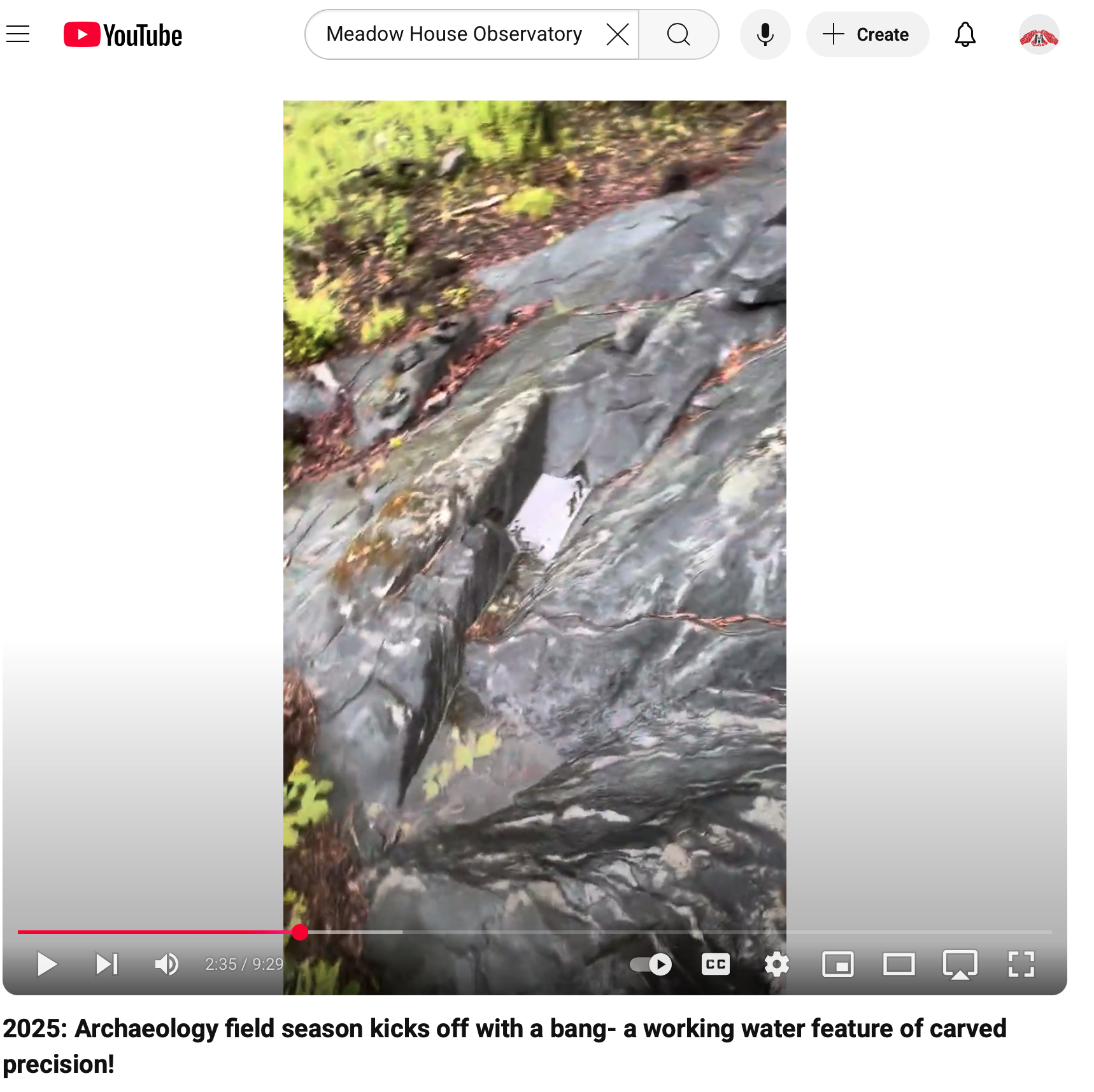
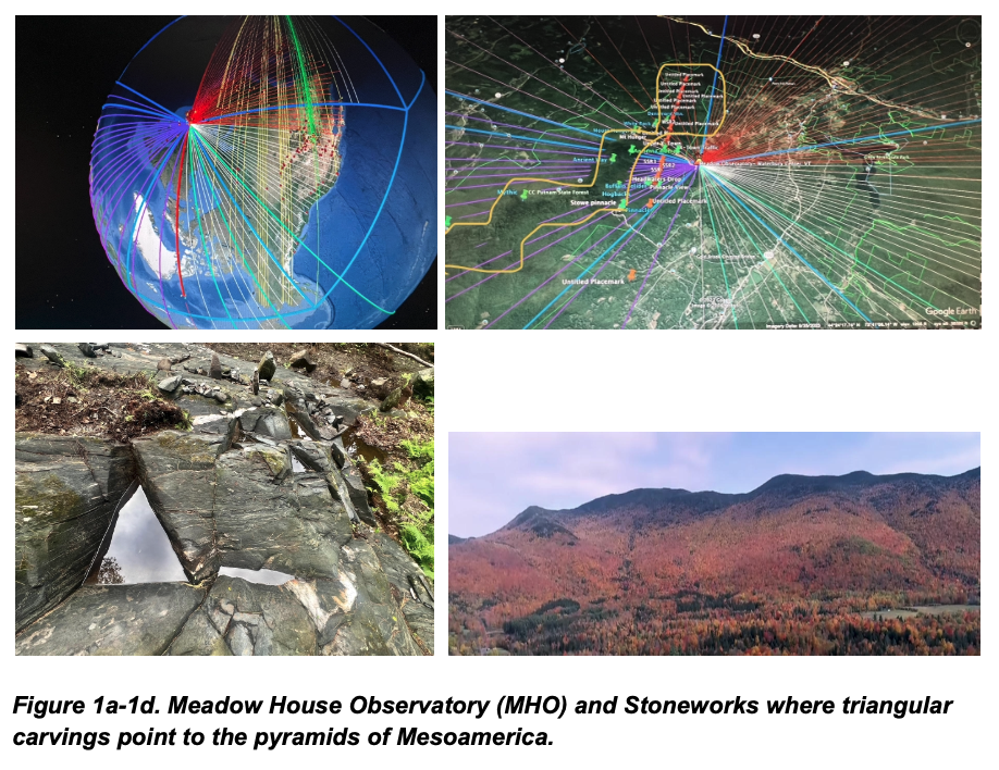
This analysis supports the hypothesis that ancient observatory sites were intentionally distributed within harmonic geospatial patterns — and that the Meadow House Observatory is not an anomaly but a vital node in this global system.
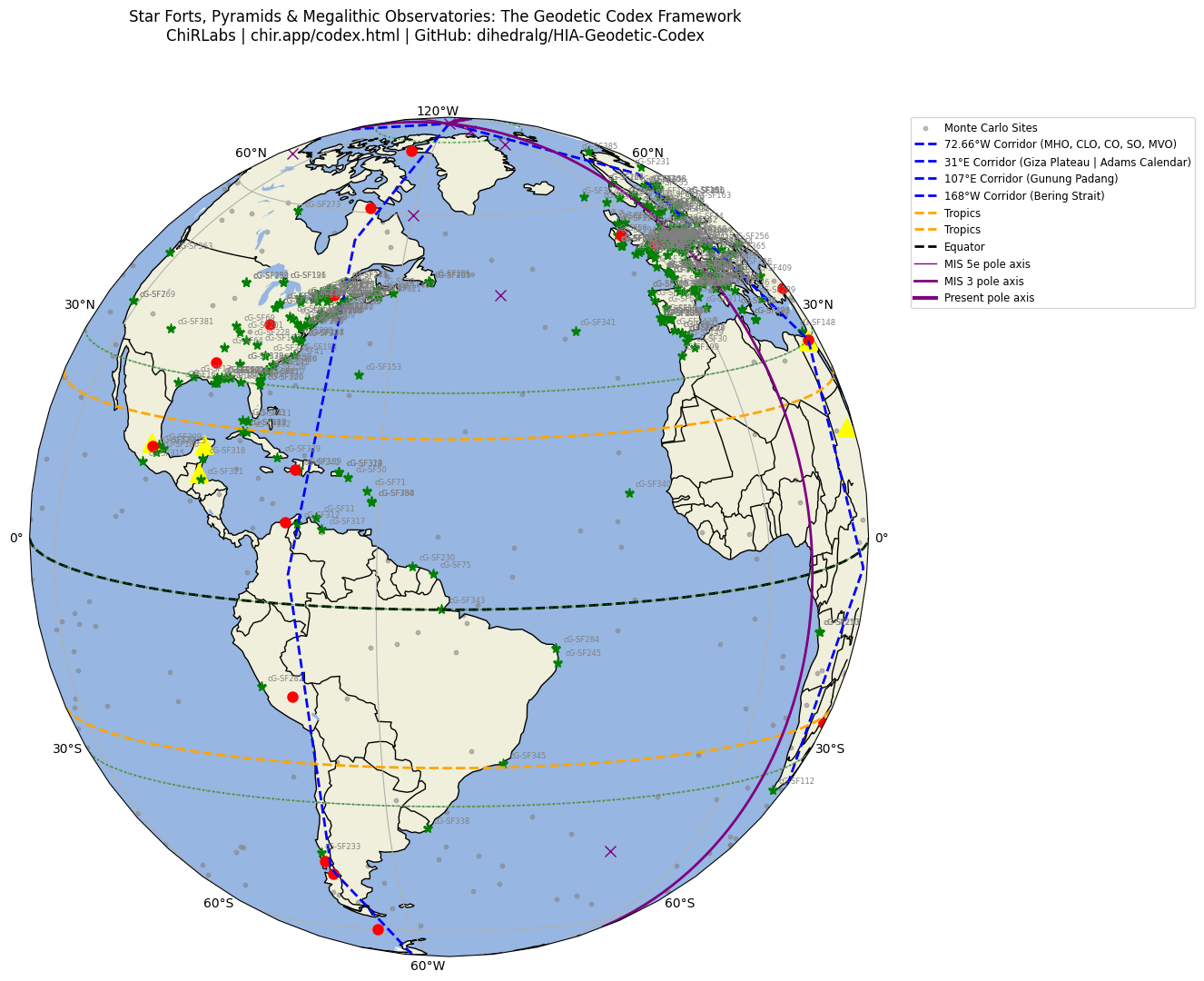
◆ The Geodetic Codex V3
Statistical Overunity in Global Archaeogeodesy
This summary presents key findings from the Codex V3 model, revealing a planetary-scale alignment of ancient sites across harmonic geodesic structures. The model integrates AI-enhanced analysis, UNESCO proximity overlays, and topographic climatology data to demonstrate deliberate architectural placement of observatories and ceremonial sites across epochs.
Quantitative Highlights
- Total nodes in current model: 36 public | 48 total (incl. submerged)
- Total geodesic vectors: 204 segments
- Earth-radius-scale chords (~3965 mi): 24 primary segments
- Standard triangle vectors (~732 mi): 120+ documented
- UNESCO alignment rate: ~91.3% (Monte Carlo expectation < 5%)
Global Site Types & Examples
| Region | Site Type | Examples |
|---|---|---|
| Northern Latitudes | Stone Circles, Mounds | Kurrigan, Avebury, Ojibwa, Newark |
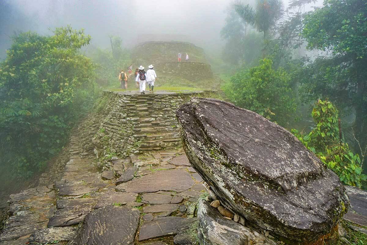
| Equatorial Band | Pyramids, Astronomical Alignments | Giza, Teotihuacan, Napta Playa, Ecuador |
| Southern Hemisphere | Stone Circles, Sunken Sites | Adams Calendar, Mount Verde, Yonaguni |
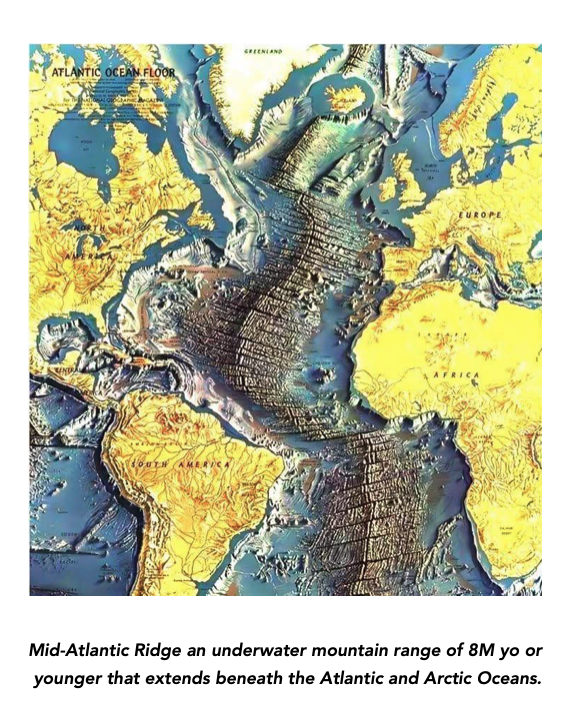
| Submerged Prediction Zones | Coral Ridges, Melt Valleys | Beringia Arc, Azores Plateau, South China Sea |
Validation Layers
- UNESCO Polygon Overlap
- Sun-Earth Equinox & Precession Mapping
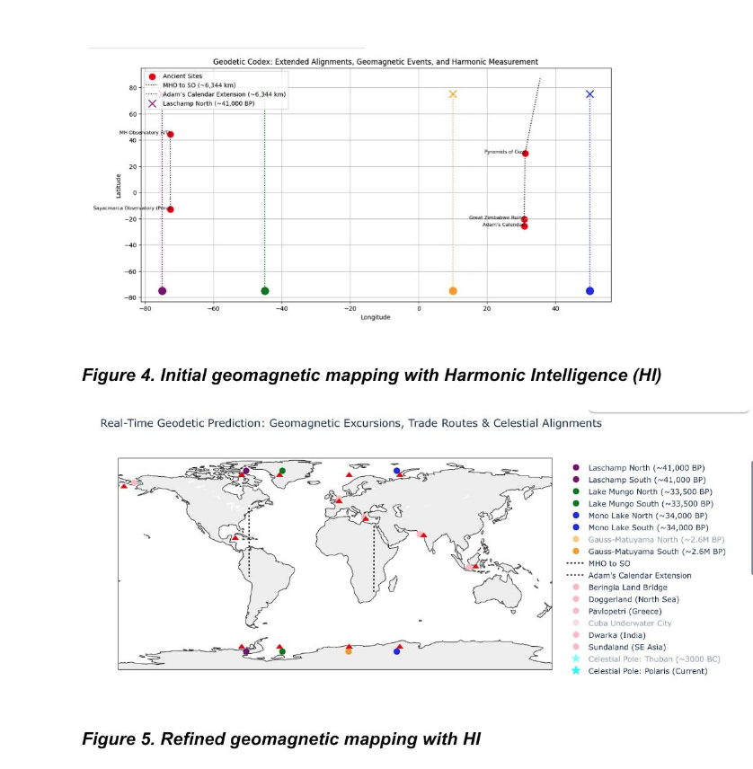
- Virtual Geomagnetic Pole (VGP) Drift Modeling
- Submersion Risk (NOAA, GEBCO Topography)
Research Extensions
- Live JSON geoglyph integration (in dev)
- Codex KML overlays + polyhedral SVGs
- Interactive mapping of glyph nodes via ChiRIPP
The magic of planetary consciousness begins with harmonic alignment.
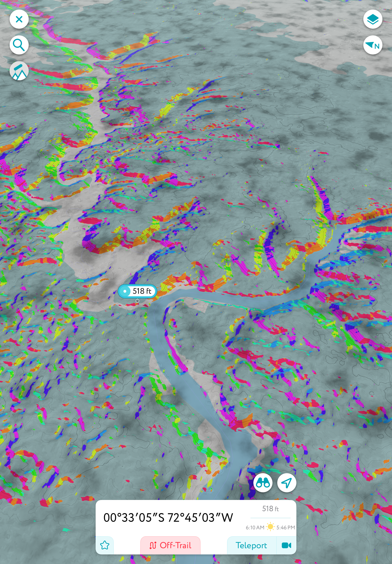
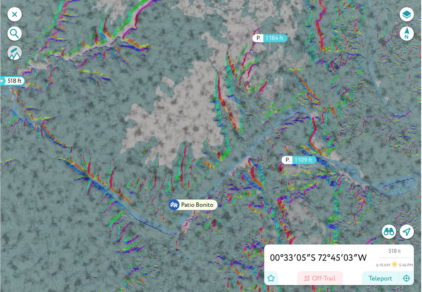
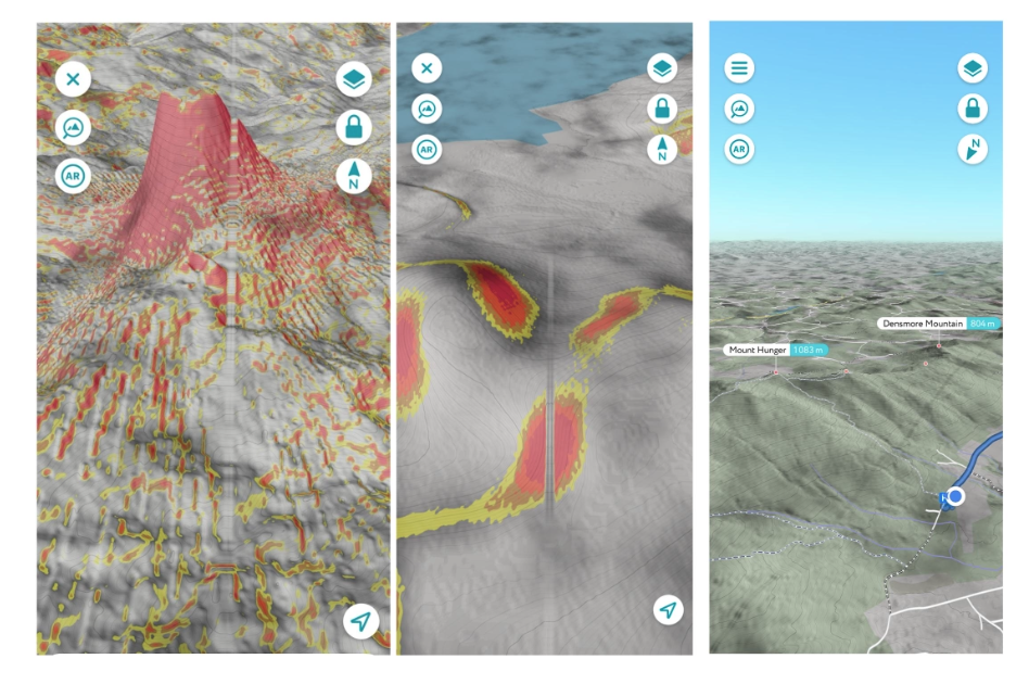
🌐 Codex V3 Mesh Preview
Note: Certain corridor vectors redacted in this public mesh preview.
🙏 Planetary Sovereignty Layer (PSL)
Protecting cultural, ecological, and symbolic truths through global glyph mapping.
🌍 Purpose of the PSL
- Indigenous sovereignty and consent protocols
- Noncommercial protection of sacred images
- Resonance-based site mapping via ChiR lattice
🔐 Access & Use Cases
Available to research partners, heritage stewards, and ethical AI developers.
Request access or tag a new glyph under PSL protocols.