Reverse-Engineering Earth's Clockworks—A Polyhedral Earth Model of Lithospheric Elasticity, Orbital Resonance, and Arctic Sovereignty Across Glacial Cycles
1. Executive Summary
We propose the creation of a planetary-scale observatory network beginning with a triangulated harmonic corridor linking:
Meadow House Observatory (MHO), Vermont, USA
Summit Station Observatory, Greenland
Proposed Northwestern Greenland Node (land-based or sea-based outpost)
This Atlantic Harmonic Arc complements the Pacific Ring of Fire as a dynamic planetary system that may hold the key to understanding Earth's lithospheric elasticity, orbital resonance, and glacial cycle dynamics. This effort not only seeks to advance geophysical science but also provides economic, technological, and diplomatic pathways for Vermont, Greenland, and international quantum research and aerospace partners.
2. Scientific Basis
2.1 Triangulation and Geodetic Resonance in the North Atlantic Arc and along the 72.66°W Corridor
We propose a longitudinal research corridor extending from Canada to Greenland as a dynamic observational and calibration zone. This region may function as a geodetic “tuning fork”—a harmonics-based reference band—for understanding longitudinal variances across the Codex corridor, stretching from Meadow House Observatory in Vermont to Citadelle Laferrière in Haiti, Sayacmarca in Peru, Monte Verde in Chili and on across the Antarctic peninsula in sight of the Vinson Massif.
Rather than enforcing a strict geometric model (such as perfect right angles, which are non-trivial on a curved planetary surface), we suggest exploring optimized triangular geometries that appear intentionally distributed across vast distances for observational coherence. The potential to integrate Arctic points—such as Greenland’s Geo-Summit Station, Jan Mayen, or high-latitude Icelandic islands—offers a means of testing georesonant alignments, geomagnetic stability, and Codex-phase triangulation in both archaeological and geospatial terms.
This may include surveying islands within the corridor for carvings or markers consistent with the broader Geodetic Codex model. These features may preserve clues not tied to seismic activity per se, but to ancient geodetic intelligence and resonance-based encoding. If successful, such work could reverse-engineer forgotten observational systems and strengthen our capacity to decode Earth’s historical orientation clocks embedded in the Codex itself.
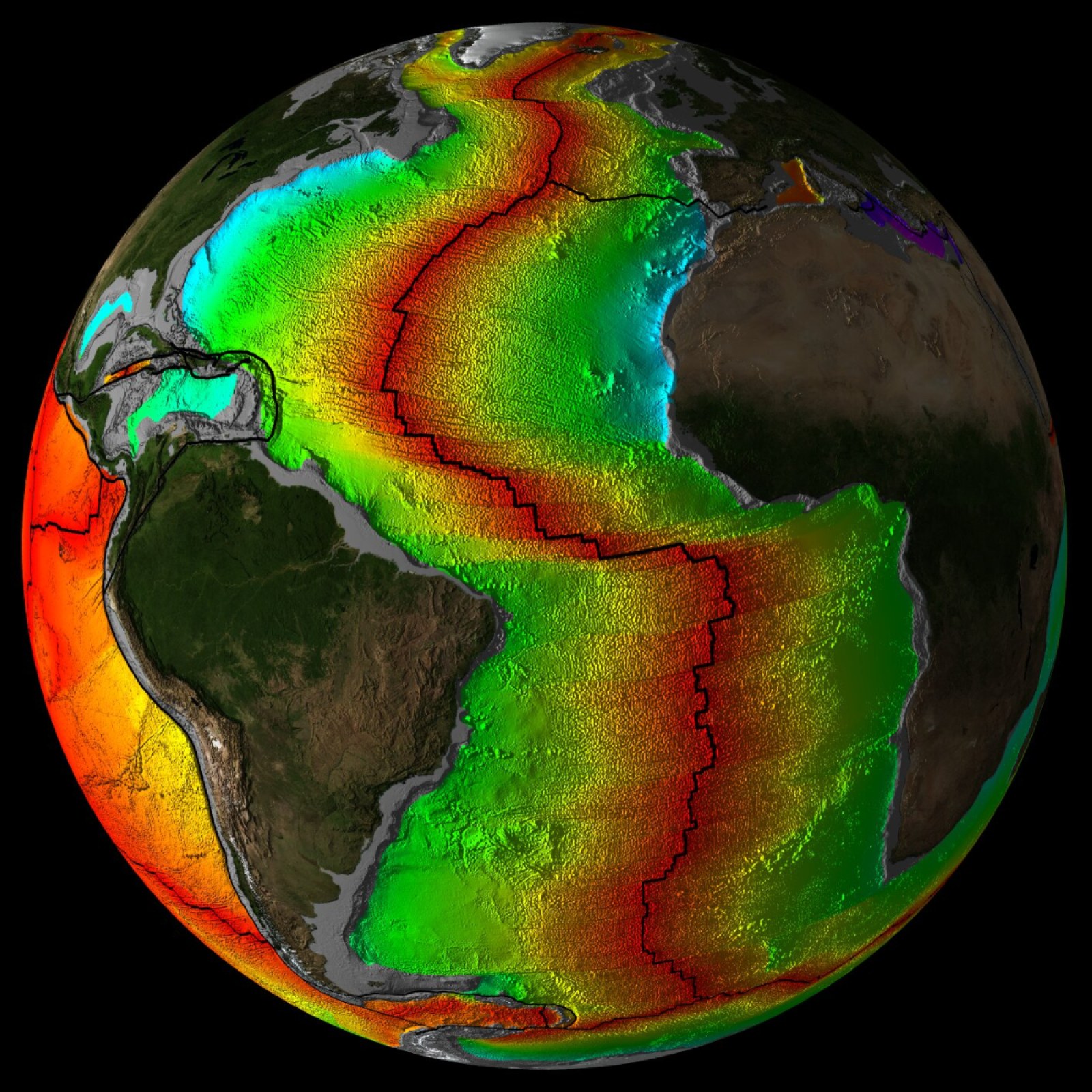
2.2 The Atlantic Harmonic Arc and Meltwater Cycles
Building on the known MIS-5e, MIS-3, and Meltwater Pulse 1A events, we propose the Atlantic Arc as a planetary breathing system, balancing mid-oceanic ridge expansion, crustal displacement, and hydrodynamic forces.
2.3 Reverse-Engineering Earth's Clockworks
By integrating Indigenous knowledge with AI-driven harmonic modeling, we believe we can reverse-engineer Earth’s long-range clockworks—revealing cycles that not only shaped Earth’s past but may predictably influence its future stability.
3. Strategic Observatory Network
Phase 1 - Arctic Triangulation ($1.5 Million Target)
Vermont (MHO) expansion as computational and diplomatic gateway.
• Activation of existing Summit Station Observatory as Arctic partner node.
• Development of third observatory—land-based or sea-based—on the northwestern corridor near or co-located at the Pituffik Space Base in Thule, Greenland.
Phase 2 - South American Expansion (~$5 Million Target)
• Establishment of observatory at Sayacmarca/Machu Picchu corridor.
• Integration with Atlantic Arc and Pacific Rim dynamics.
Phase 3 - Full Atlantic Arc and Global Integration (~$10 Million Target)
• Expansion to Svalbard, Jan Mayen, Iceland, Azores, and African Atlantic front.
• Comprehensive crustal displacement and planetary harmonic monitoring network.
4. Economic and Technological Impact
Quantum Computing Application: Leverage Arctic cooling for stable quantum data centers.
Vermont as Gateway: Position Vermont as a northern hub for Arctic and Atlantic collaboration, with downstream benefits for tourism, education, and global partnerships- maybe even in the Amazon River watershed along the 72.66 W corridor-see lidar here.
This corridor intersects U.S., Canadian, and Greenlandic lands rich with Indigenous knowledge systems. We propose a Sovereignty-First Governance Model that elevates:
• Local and Indigenous leadership.
• Community benefit and scientific reciprocity.
• Non-militarized, planetary stewardship principles with potential US National Science Foundation grant funding support per the current application period.
Authentic Intelligence Integration
The project is rooted in Authentic Intelligence—a synthesis of human wisdom, AI, and Indigenous narratives. This integration has already yielded computational breakthroughs, proving the value of cross-cultural epistemology.
ChiR Labs Role and Boundary
ChiR Labs, based in Vermont, will serve as research director and ethical steward of the modeling framework. We do not seek operational control or administrative governance over sovereign observatory nodes. Our role is to support, publish, and share findings while enabling autonomous stewardship by local partners.
6. Call to Action
We invite:
Vermont state leadership to advance this initiative diplomatically.
Quantum computing, aerospace, DARPA, IARPA, and geospatial research partners to collaborate on planetary-scale geospatial modeling and Arctic data center opportunities.
Federal and international allies to support a peace-driven, sovereignty-first planetary observatory network.
We stand ready to begin with Phase 1 deployment for $1.5 million, scalable to broader outcomes as partners and resources align.